|
|
1 What do you Notice about the data in the table?
2 What do you Wonder?
3 The ride goes from lowest pointfeet to highest pointfeet in minutes.
4 The ride does a full cycle in minutes. (A full cycle can either be measured from high-point to high-point or low-point to low-point.)
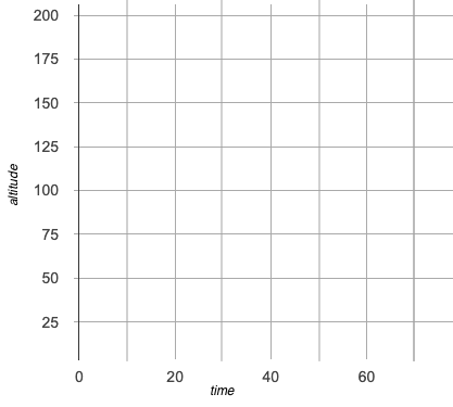
5 Plot each of the points in the table (left) on the coordinate plane (right) to create a scatter plot.
6 Working from left to right, connect the dots one pair at a time using straight lines. This will create a data visualization known as a line-graph.
7 Draw a dotted horizontal line on the graph, precisely halfway between the highest and lowest point. What is its altitude? feet.
8 Describe the relationship you see between time and altitude. (Is it linear, quadratic, exponential, etc.?)
9 What kind of ride do you think the teacher was on, and why?
These materials were developed partly through support of the National Science Foundation, (awards 1042210, 1535276, 1648684, 1738598, 2031479, and 1501927).  Bootstrap by the Bootstrap Community is licensed under a Creative Commons 4.0 Unported License. This license does not grant permission to run training or professional development. Offering training or professional development with materials substantially derived from Bootstrap must be approved in writing by a Bootstrap Director. Permissions beyond the scope of this license, such as to run training, may be available by contacting contact@BootstrapWorld.org.
